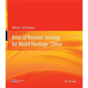
Atlas of remote sensing for world heritage:China
本书特色
[
guo huadong所著的《atlas of remote sensing for world
heritage(china)》以空间技术为载体,从空间视角展示和宣传中国的世界遗产风采,特别注重运用空间技术的多时相、多分辨率、多波段特性和魅力来研究遗产地与周围环境的关系。通过空间技术展示的中国世界自然遗产的成因及其变化,中国世界文化遗产的历史文化传承和文化区域,让人们从三维空间的角度来更好地了解我国的自然与文化。图集知识、鉴赏和收藏于一体,可为相关人员阅读欣赏、研究引用与教学参考,具有保存价值。
]
内容简介
[
世界遗产作为全人类的共同财富,记录着地球存在的历史和人类文明发展的足迹。本图集立足于空间技术,选择多波段、多分辨率、多时相以及航天与航空遥感数据,采用典型遥感图像和三维模型表达,从文化遗产、文化景观、混合遗产和自然遗产四个方面,宏观、直观、真实地刻画了中国的40个世界遗产地本体与景观环境特征。
]
目录
remote sensing dataspaceborne remote sensing dataairborne remote sensing dataspectral characteristics of ground objectsterminologycultural heritagegroups of buildingsimperial palaces of the ming and qing dynasties in beijing andshenyangtemple of heaven:an imperial sacrificial altar in beijingimperial tombs of the ming and qing dynastiestemple and cemetery of confucius and the kong family mansion inqufusummer palace,an imperial garden in beijingmountain resort and its outlying temples,chengdeclassical gardens of suzhouold town of lijiangancient city of ping yaoancient villages in southern anhui-xidi and hongcunkaiping diaolou and villagesfujian tulouancient building complex in the wudang mountainshistoric ensemble of the potala palace,lhasahistoric center of macaohistoric monuments of dengfeng in “the center of heaven andearth”monumentsmausoleum of the first qin emperorcapital cities and tombs of the ancient koguryo kingdommogao cavesdazu rock carvingslongmen grottoesyungang grottoeshistorical relicsthe great wallmount qingcheng and the dujiangyan irrigation systempeking man site at zhoukoudianyin xucultural landscape heritagelushan national parkmount wutaimixed heritagemount taishanmount huangshanmount emei scenic area,including leshan giant buddha scenicareamount wuyinatural heritagewulingyuan scenic and historic interest areajiuzhaigou valley scenic and historic interest areahuanglong scenic and historic interest areathree parallel rivers of yunnan protected areassichuan giant panda sanctuaries?wolong,mt.siguniang and jiajinmountainssouth china karstmount sanqingshan national parkchina danxiabibliographyappendix ⅰ:criteria for the world heritageappendix ⅱ:brief introduction to the international center on spacetechnologies for natural and cultural heritageindex
封面

书名:Atlas of remote sensing for world heritage:China
作者:郭华东
页数:341
定价:¥880.0
出版社:科学出版社
出版日期:2012-09-01
ISBN:9787030351371
PDF电子书大小:132MB 高清扫描完整版
